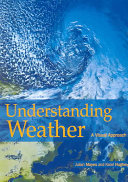
This book shows how it is possible to understand weather and climate by combining our ability to observe weather systems from the earth's surface with visualization from above--notably by means of satellite imagery. It aims to show that it is possible to analyze global weather systems through this visual technology rather than the traditional use of math and physics. After examining the interaction of atmospheric heat, moisture, and motion, and contrasting the "above" and "below" approaches techniques of observation, the authors survey the world's climatess with key weather features, highlighting the ways in which weather events may develop into atmospheric hazards.